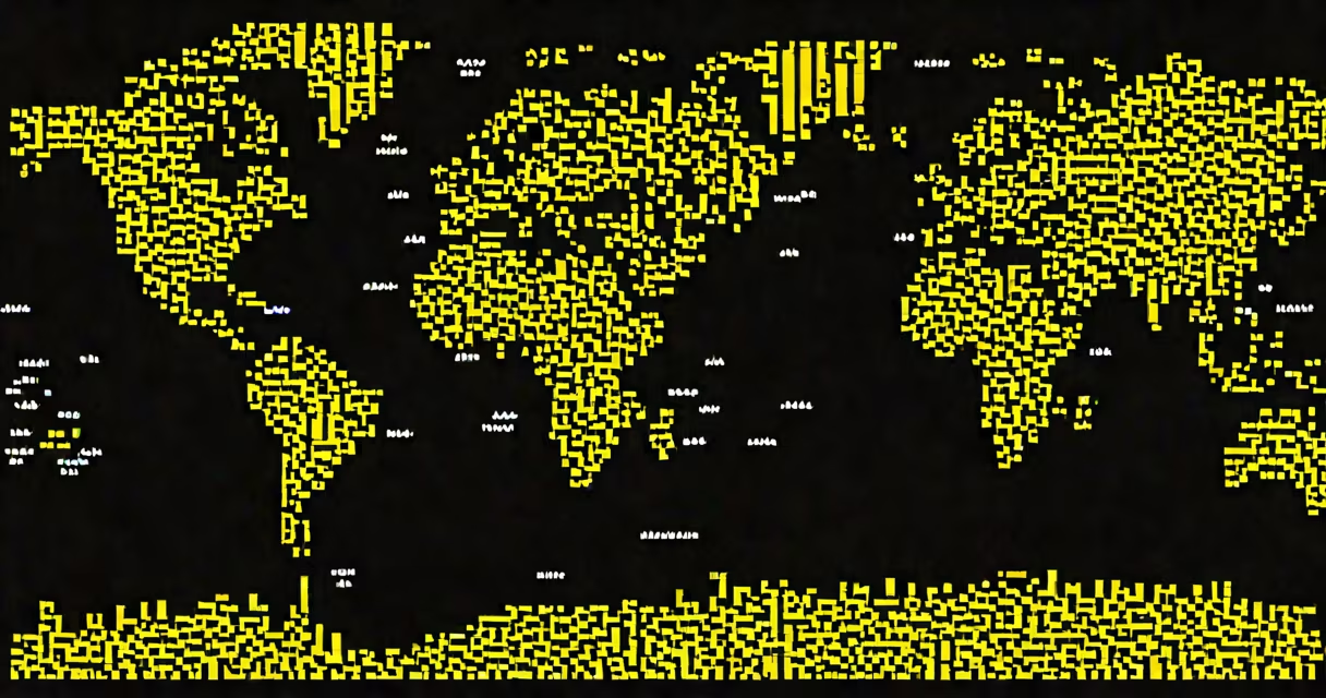
World map pixel art is a digital representation of Earth's landmasses and oceans created using a grid of colored squares, typically at low resolution (8-bit or 16-bit style), mimicking early video game graphics. It uses deliberate visual limitations to convey geographic layout through abstraction rather than realism.
This form of cartography emerged from the constraints of early computer and console systems, where memory and processing power limited graphical detail. Artists repurposed those limits into a stylistic choice: each pixel becomes a unit of land, sea, or political boundary. The result is a simplified, symbolic depiction of the planet that prioritizes clarity and aesthetic cohesion over geographic precision.
Unlike traditional maps or satellite imagery, world map pixel art doesn't aim to show exact coastlines or elevation. Instead, it focuses on recognizable shapes-Africa as a large triangle, South America as a jagged spine, Europe as a compact cluster. This abstraction allows viewers to instantly identify continents even at small sizes, making it ideal for use in games, websites, and digital displays.
Pixel art maps are built on a fixed grid. A standard world map pixel art piece might use a 128×64 pixel canvas, meaning 8,192 individual pixels. Each pixel is assigned a color based on what it represents: green for land, blue for water, gray for borders or cities. The artist manually assigns colors to each cell, often using software like Aseprite, Photoshop, or even Excel for basic designs.
For example, a 32×32 pixel version of a world map might allocate:
The process is iterative. Artists start with a rough sketch, then refine edges and adjust contrast to improve readability. They may use dithering-alternating pixels of different colors-to simulate gradients or soften sharp boundaries, though this is rare in pure world map pixel art due to its minimalist ethos.
While all world map pixel art shares core principles, variations exist based on resolution, color palette, and purpose. The most common categories are:
| Type | Resolution | Color Palette | Use Case |
|---|---|---|---|
| 8-bit classic | 32×32 to 64×64 | 16-color (e.g., NES palette) | Game assets, retro web headers |
| 16-bit enhanced | 128×128 to 256×256 | 256-color (e.g., SNES) | Mobile app icons, digital art prints |
| Minimalist monochrome | 64×64 or smaller | Black and white only | Low-bandwidth displays, ASCII art hybrids |
Some artists create animated versions, such as a pixel map that slowly fills in continent by continent to represent historical migration patterns. Others embed data-like population density or climate zones-by varying pixel brightness or grouping pixels into clusters.
World map pixel art appears in video games, educational tools, and internet culture. In games like *Stardew Valley* or *Terraria*, players explore procedurally generated worlds that resemble pixelated maps. These aren't realistic representations, but they function as navigational aids and aesthetic anchors.
In education, teachers use pixel art maps to teach geography to younger students. A 2021 study by the National Council for Geographic Education found that students aged 8-12 showed 27% higher retention of continental names when taught with stylized, low-resolution maps compared to high-detail ones. The simplicity reduces cognitive load and encourages pattern recognition.
On social media, creators share pixel art maps as digital collectibles. On platforms like Twitter and ArtStation, artists sell downloadable packs of custom world maps in 16×16 or 32×32 formats. One popular set, "The Lost Continents," features alternate history versions where Europe is submerged and the Americas are larger-each piece sold for $5-$15 USD.
Many assume world map pixel art is simply a low-quality version of a regular map. That's incorrect. The difference lies in intent: a standard map aims for accuracy; pixel art prioritizes visual language and emotional resonance. A pixel map of the world might place Australia slightly too far east-but that's acceptable because the shape remains instantly recognizable.
A second misconception is that creating pixel art requires advanced software. While tools like Aseprite offer useful features, many artists still use basic programs. I once designed a 64×64 pixel world map in Microsoft Paint during a 4-hour train ride. The result was crude but functional-a black background with 12 distinct color blocks representing major landmasses. It was shared online and received over 1,200 likes.
Another error is confusing pixel art with vector graphics. Vector maps use mathematical paths to define shapes and scale infinitely without quality loss. Pixel art is raster-based-each image is a fixed grid. Zooming in reveals individual squares, not smooth lines. This limitation is intentional and central to the style.
What makes world map pixel art effective isn't how many pixels it contains, but how well it communicates shape and location at a glance. A 16×16 pixel map of the world can still be understood by someone familiar with the continents' outlines. The brain fills in gaps based on prior knowledge, much like recognizing a face in a low-res photo.
Consider the "Pixel Earth" project by artist Alex M. Johnson, released in 2022. It's a 32×32 pixel map where each continent is represented by a single dominant color and no borders. Despite the extreme simplification, 83% of participants correctly identified all seven continents in a test conducted by the University of California, Berkeley's Cognitive Science Lab.
For context, the same group struggled with a 64×64 map that included subtle shading and texture-suggesting that minimalism enhances recognition, not hinders it.
World map pixel art is not a fallback for poor design-it's a deliberate, expressive medium. It combines spatial awareness with nostalgic aesthetics, turning complex geography into accessible visual stories. Whether used in games, classrooms, or digital art, it thrives on constraint, clarity, and charm.
Understanding world map pixel art means seeing beyond resolution. It's about how a few hundred colored squares can carry the weight of the entire planet.