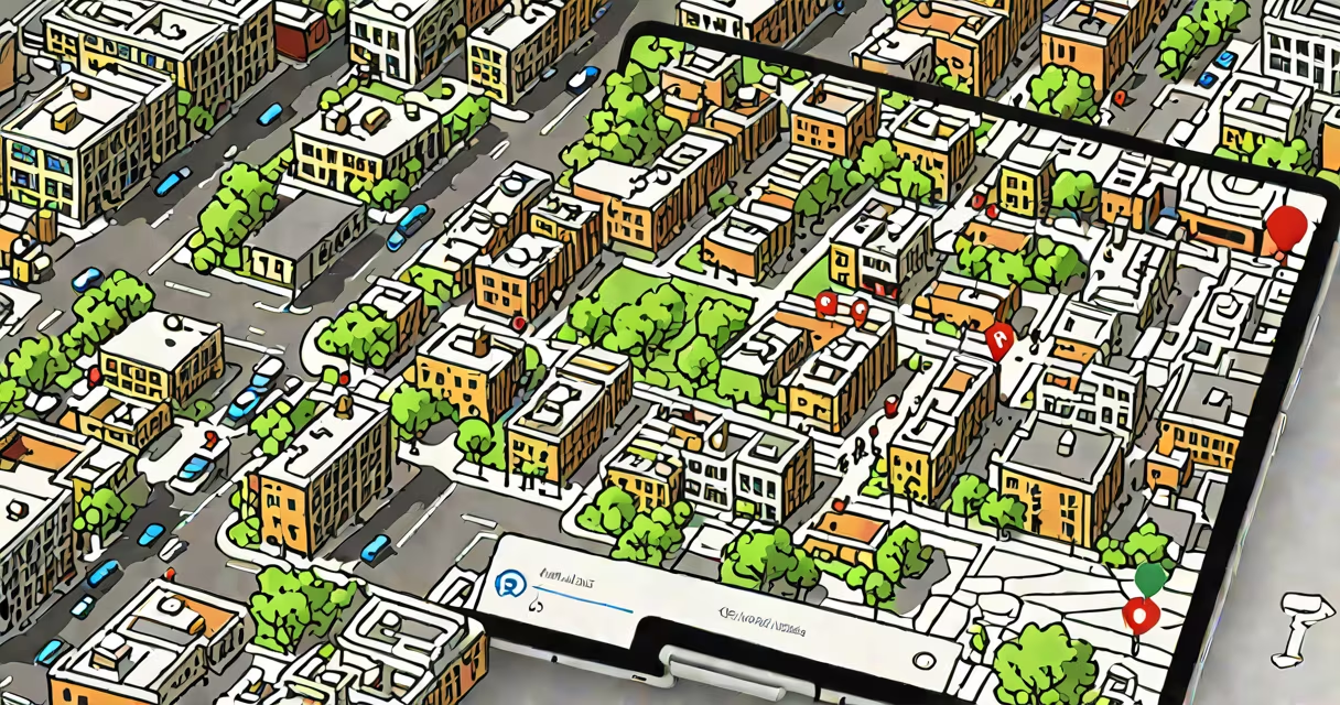
Street View on Google Maps lets you explore real-world panoramic images of streets, landmarks, and outdoor locations worldwide. You can pan, zoom, and walk through scenes as if you were there.
To access Street View, locate a place on Google Maps, then drag the yellow "Pegman" icon onto the map. The system loads 360-degree imagery from nearby locations. This feature works on desktop browsers and mobile apps.
Google Maps Street View uses a fleet of specialized vehicles equipped with high-resolution cameras. These cars drive thousands of miles annually, capturing images at regular intervals. As of 2023, over 100 million miles of roads have been mapped in Street View, covering more than 80 countries.
When you activate Street View, Google Maps connects to its global database of pre-captured panoramic images. These images are stitched together from multiple camera feeds and stored in a geospatial index tied to GPS coordinates.
The Pegman icon acts as a visual trigger. When dragged onto a road segment with available Street View data, the interface switches from satellite or standard map view to a 360-degree immersive view. You can rotate the view by clicking and dragging, or use arrow keys on desktop.
On mobile devices, tap the Pegman icon and drag it to a location. Once loaded, swipe left or right to turn, pinch to zoom, and tap to move forward along the path. The app displays directional arrows and distance markers to guide movement.
Street View is available in several formats depending on device and context:
| Access Method | Device Type | Required Action | Availability |
|---|---|---|---|
| Pegman Drag | Desktop, Mobile | Drag Pegman onto a visible road | Global (where data exists) |
| Search & Click | Mobile App | Tap a location, select "Street View" | Most populated areas |
| Explore Mode | Android, iOS | Use "Explore" tab in app | Selected cities and tourist zones |
| Link Share | All | Click a shared Street View link | Anywhere with public URLs |
Not all roads have Street View coverage. Rural areas, private driveways, and restricted zones (like military bases) are excluded. Google updates the dataset quarterly, but changes may take months to reflect.
Many users assume Street View shows live footage. It does not. All images are static and captured during past drives. The latest data may be weeks or months old, especially in remote regions.
Another frequent error is expecting Street View on every street. Only about 15% of global roads have Street View coverage. Major cities like New York, London, Tokyo, and Sydney have dense coverage. Smaller towns in Europe and North America often do too. But places in Sub-Saharan Africa, Southeast Asia, and parts of South America remain underrepresented.
If Pegman doesn't appear, the area lacks Street View data. Try moving the map slightly or searching for a nearby intersection. Some locations require a minimum of two adjacent road segments to enable the feature.
Suppose you're planning a trip to San Francisco and want to preview the view from the bridge's eastern entrance. Open Google Maps, search "Golden Gate Bridge," and center the map on the toll plaza near the east side.
Drag the Pegman icon from the top-right corner onto the road leading to the bridge. The map switches to Street View mode. You'll see a 360-degree image of the bridge's approach, including signage, pedestrian walkways, and the iconic orange towers.
Use your mouse or finger to look around. Tap the "Forward" arrow to walk toward the bridge. You can stop at the observation deck and examine the railing details. This helps assess accessibility, lighting, and crowd density before arrival.
I've used this method to scout hiking trailheads in Yosemite National Park. Before a weekend trip, I checked the trailhead parking area via Street View. I noticed a broken sign and uneven pavement-information that helped me pack appropriate footwear and avoid confusion on-site.
Street View integrates with other Google Maps tools. For example, you can switch to walking mode and follow a route while viewing actual street conditions. This combines GPS tracking with real-world visuals.
For non-English speakers, Google Maps in English ensures consistent labeling and navigation. Some Street View interfaces display local language signs, but the core controls remain in English.
Street View also supports VR mode on compatible devices. Using a headset like Meta Quest or Google Cardboard, you can experience full immersion. However, this requires downloading the Google Maps app and enabling VR settings manually.
Google does not provide real-time video streams. The closest equivalent is Google Earth Live, which offers satellite-based weather and traffic overlays-but not ground-level views.
Street View is not a live feed. It's a historical archive of physical spaces. The data is updated periodically, but gaps exist. Always verify current conditions with on-site reports or official sources.
Understanding how to see street view on Google Maps improves navigation accuracy, travel planning, and situational awareness. Use it to test routes, check building entrances, or explore destinations virtually before visiting.