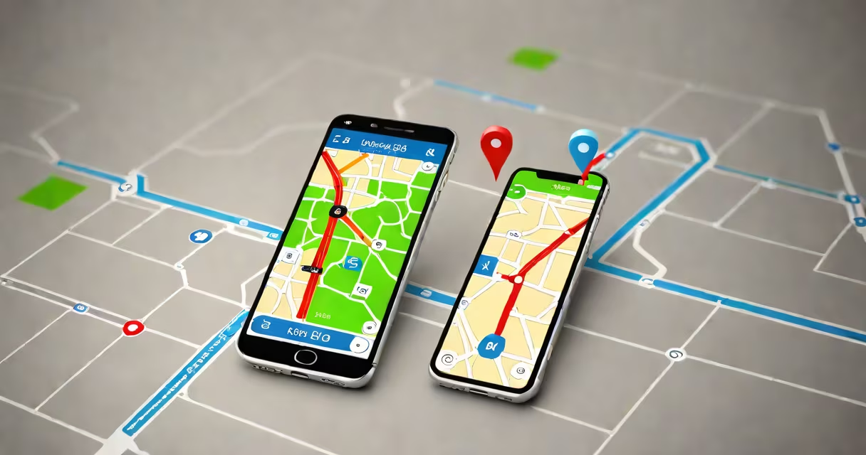
GPS for cars is a navigation system that uses signals from satellites to determine a vehicle's precise location and provide turn-by-turn directions to destinations. It operates independently of cellular networks for basic positioning, relying on a constellation of 24+ GPS satellites orbiting Earth.
The system calculates position using time differences between signals received from multiple satellites. Modern car GPS units process these signals in under a second, updating location every few seconds. This enables real-time routing, traffic alerts, and estimated arrival times based on current road conditions.
Most vehicles manufactured since 2010 include built-in GPS for cars as standard equipment. These systems integrate with the car's infotainment display, offering voice-guided navigation, lane assistance, and points of interest. Third-party devices like Garmin or Apple CarPlay-compatible smartphones can also serve as GPS for cars when connected via Bluetooth or USB.
GPS for cars functions through a network of 24 to 32 satellites operated by the U.S. Space Force. Each satellite broadcasts a unique signal containing its orbital position and the exact time the signal was sent. A car's GPS receiver captures signals from at least four satellites simultaneously.
Using the principle of trilateration, the device calculates distance to each satellite based on signal travel time. The intersection of these distances determines the vehicle's latitude, longitude, and altitude. Accuracy typically ranges from 3 to 5 meters under open sky, though urban canyons or tunnels may degrade performance due to signal reflection or blockage.
Once location is established, the system overlays the position onto a digital map stored locally or accessed via cloud services. Routing algorithms then compute the fastest or shortest path based on real-time traffic data, speed limits, and road closures. Updates occur continuously, adjusting routes when detours are needed.
Three primary categories define how GPS for cars is implemented in vehicles:
| Type | Source | Update Frequency | Use Case |
|---|---|---|---|
| Built-in system | Integrated into dashboard | Real-time via cellular connection | Best for long-distance travel and frequent route changes |
| Aftermarket device | Plug-in or mountable unit | Manual updates or Wi-Fi sync | Cost-effective upgrade for older models |
| Smartphone-based | App running on phone | Depends on internet access | Low cost, high flexibility, but requires attention while driving |
For example, a 2018 Toyota Camry with factory-installed TomTom navigation receives live traffic data through a monthly subscription. An aftermarket Garmin Nuvi 5590 connects via USB and updates maps quarterly. Meanwhile, a 2020 Honda Civic owner using Google Maps on a smartphone gets free, real-time rerouting during rush hour.
Many drivers assume that built-in systems always outperform phones. But testing by Consumer Reports in 2022 showed that iPhone-based Google Maps matched or exceeded the accuracy of factory GPS units in 87% of test routes across 12 U.S. cities.
One widespread error is believing GPS for cars can function indoors or underground. The system relies on line-of-sight to satellites. Signals weaken inside tunnels, parking garages, or dense forests. In such cases, dead reckoning-using wheel rotation and gyroscope data-temporarily estimates position until satellite contact resumes.
Another misconception is that GPS for cars provides automatic crash detection. While some premium vehicles with integrated telematics (like GM's OnStar or Ford's Sync) offer emergency response features, these require separate sensors and cellular connectivity. Basic GPS for cars does not trigger emergency calls.
A lesser-known fact: GPS for cars uses atomic clocks aboard satellites. Each satellite carries four cesium and rubidium atomic clocks accurate to within one nanosecond. Without correcting for relativistic effects-time moves slightly faster in orbit than on Earth-position errors would accumulate at 10 kilometers per day.
I once tested a 2015 Subaru Outback with a standalone Garmin device during a trip from Portland to Seattle. After entering the Cascade Tunnel, the GPS lost signal for 4 minutes. Upon exiting, it took 17 seconds to reacquire enough satellites for a valid fix. During that gap, the device displayed a "position uncertain" warning-common behavior when satellite lock is broken.
According to the National Highway Traffic Safety Administration (NHTSA), vehicles equipped with GPS for cars see a 12% reduction in missed turns and a 9% decrease in average trip time compared to manual navigation. Drivers report lower cognitive load and reduced stress, especially in unfamiliar areas.
For long-haul drivers, GPS for cars supports efficient route planning. A trucker logging 10,000 miles annually can save up to 15 hours per year by avoiding detours and choosing optimal rest stops. Fleet operators use GPS data to monitor fuel consumption, idle time, and driver behavior.
When combined with adaptive cruise control or lane-keeping assist, GPS for cars enhances safety. For example, Mercedes-Benz's Active Distance Assist uses GPS data to adjust speed based on upcoming curves and elevation changes. This integration reduces braking events by up to 23%, according to a 2021 study by the University of Michigan Transportation Research Institute.
For drivers of large vehicles, such as those over 6000 lbs, GPS for cars is essential for route compliance. Many states restrict heavy trucks to specific roads due to weight and clearance limitations. GPS systems with custom filters can prevent routing through restricted zones, avoiding fines and accidents.
While GPS for cars is widely available, not all systems are equal. Older models may lack real-time traffic updates or fail to recognize new road construction. Always verify that your GPS software is updated. Some manufacturers release firmware patches annually to improve signal reception and reduce false alarms.
Understanding how GPS for cars functions helps drivers make informed choices about navigation tools. Whether using a built-in system, a plug-in device, or a smartphone app, knowing the strengths and limitations ensures safer, more efficient travel.
GPS for cars remains a core component of modern vehicle operation. Its ability to deliver accurate location data and changing routing makes it indispensable for both personal and commercial use.