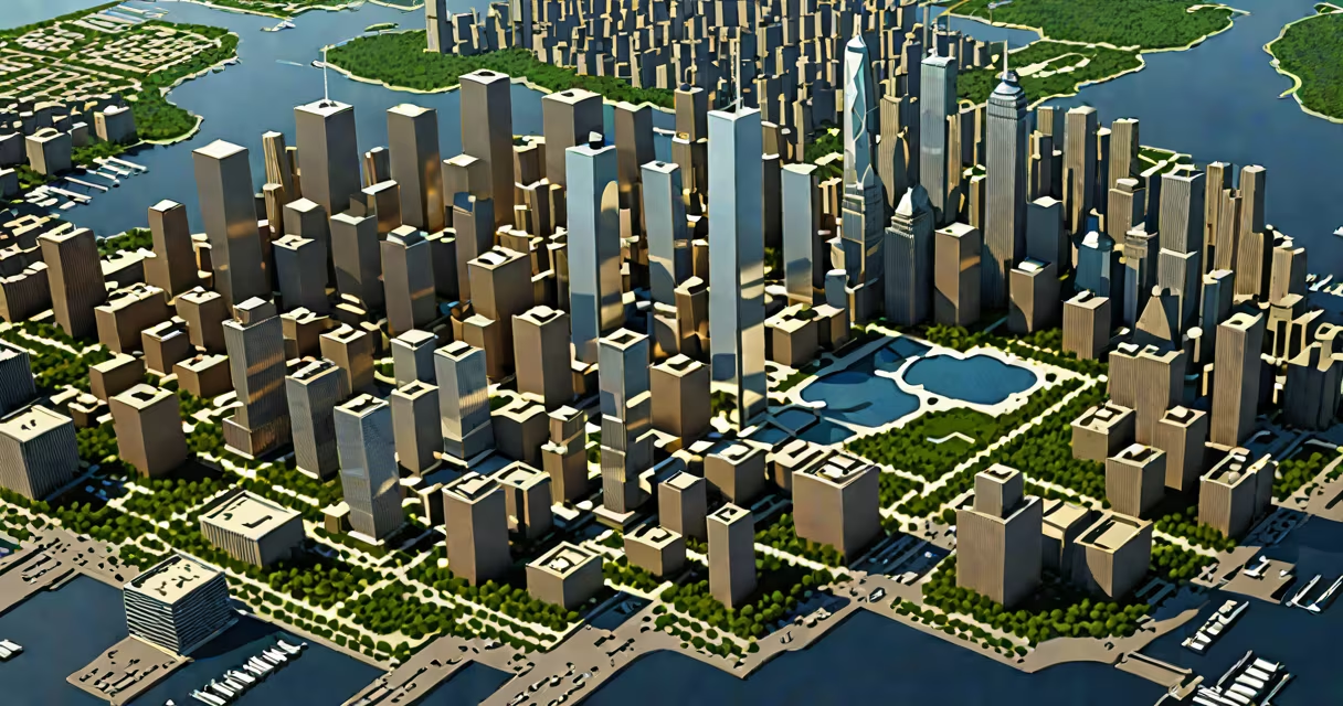
A world trade center map is a visual representation of the original World Trade Center complex in New York City, including the twin towers, their surrounding buildings, and the current site layout with the 9/11 Memorial and One World Trade Center. These maps serve as navigational tools, historical records, and memorials.
Created using architectural blueprints, satellite imagery, and urban planning data, world trade center maps show the precise placement of structures, access points, pedestrian pathways, and key features like the 9/11 Memorial's reflecting pools. They are used by visitors, researchers, emergency planners, and educators to understand spatial relationships at the site.
Maps differ based on purpose: some focus on the pre-9/11 configuration, others emphasize the rebuilt complex. Digital versions often include interactive layers showing construction phases, visitor routes, and historical timelines. Physical maps are available at the 9/11 Memorial Museum and on-site kiosks.
Each world trade center map integrates geographic coordinates, scale measurements, and symbolic icons to represent physical elements. The original complex spanned 16 acres between Broadway and Vesey Street, with the North Tower (1 WTC) and South Tower (2 WTC) occupying the central plaza.
Modern maps use GIS (Geographic Information Systems) to layer data. For example, a digital map may overlay the 2001 site footprint with a timeline showing the collapse sequence, then transition to the current site's construction stages. This allows users to compare past and present layouts.
Interactive maps hosted by the National September 11 Memorial & Museum include clickable zones. Tapping the location of the South Tower's base reveals details about the impact zone, debris field, and recovery efforts. These maps are updated as new archival material becomes available.
Different map types serve distinct audiences and functions. The table below outlines common categories:
| Type | Purpose | Example Source | Key Detail |
|---|---|---|---|
| Historical | Show pre-9/11 layout | National Archives, 1990s WTC blueprints | Includes original tenant floor plans and elevator shafts |
| Reconstruction | Track post-9/11 rebuilding | Port Authority of NY/NJ, 2006-2014 site reports | Shows phased construction of One World Trade Center and subway access |
| Visitor Navigation | Guide tourists and workers | 9/11 Memorial Museum, official site maps | Highlights entrances, restrooms, audio guides, and wheelchair access |
| Academic/Research | Analyze structural failure or urban resilience | MIT Urban Risk Lab, Columbia University study archives | Uses heat maps to show evacuation patterns during the attacks |
Some maps incorporate augmented reality. Visitors at the 9/11 Memorial can view a digital reconstruction of the twin towers through a mobile app, aligning the virtual image with the actual ground plane using GPS and camera sensors.
Many assume the world trade center map shows only the twin towers. In reality, the original complex included seven buildings: 1 WTC, 2 WTC, 3 WTC, 4 WTC, 5 WTC, 6 WTC, and 7 WTC. A map focusing solely on the twin towers omits critical context about the site's density and connectivity.
Another error is believing the 9/11 Memorial pools are centered on the original tower footprints. The pools are positioned at the corners of the original foundation, with the names of victims inscribed along the edges. The original towers were slightly offset from the grid lines due to subway tunnel constraints, a detail visible only on high-resolution maps.
One non-obvious fact: the current One World Trade Center stands 1,776 feet tall, a deliberate reference to the year of the U.S. Declaration of Independence. This height was chosen during the design phase and confirmed in the Port Authority's 2005 master plan. A world trade center map that includes elevation data will show this number marked on the building's exterior.
I used a world trade center map during a visit to the 9/11 Memorial in 2022. The printed map from the museum's gift shop showed the original site's layout with color-coded zones: red for the twin towers' locations, blue for the memorial pools, and green for the surrounding parks and transit hubs.
Using the map, I located the exact spot where the South Tower collapsed. The map indicated a 12-foot-wide gap in the pavement where the building fell, now filled with a bronze plaque listing the names of those who died in the South Tower. The map also highlighted the path taken by the last survivor, William Rodriguez, who escaped via the stairwell near the 78th floor.
By cross-referencing the map with a QR code at the site, I accessed a 3D model of the South Tower's final moments. The animation showed the aircraft impact at 8:46 AM, the fire spreading upward, and the structural failure sequence leading to collapse at 9:59 AM. This level of detail is only available through integrated digital maps.
Do not confuse a world trade center map with a world map or a pixel art version of global geography. A world trade center map focuses exclusively on Manhattan's Lower Manhattan district, specifically the area bounded by Church Street, Liberty Street, Vesey Street, and West Street.
For example, the pixel art world map uses blocks to represent countries and continents. It lacks precision for urban infrastructure. A world trade center map, by contrast, uses metric units and architectural standards. One square inch on a detailed WTC map equals approximately 10 feet in real space.
One World Trade Center, completed in 2014, is now the tallest building in the Western Hemisphere. Its location is precisely marked on all official world trade center maps. The building's spire reaches 1,776 feet, a number chosen to honor the year of American independence. This detail appears on both digital and print maps produced by the Port Authority and the National Park Service.
Understanding a world trade center map requires recognizing that it is not static. It evolves with the site's transformation. From the original 1973 layout to the 2001 destruction, and finally to the 2014 completion of One World Trade Center, each version reflects the political, cultural, and engineering priorities of its time.
The world trade center map remains a important tool for remembering, going through, and learning. Whether used by a student researching urban resilience or a tourist walking the memorial's edge, it connects memory to place.