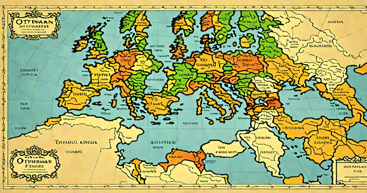
A map of the Ottoman Empire illustrates the geographic extent of the state during its height in the 16th century, covering parts of Southeast Europe, Western Asia, and North Africa. The empire reached its largest size under Sultan Suleiman the Magnificent, with control stretching from Hungary to Yemen and from Algeria to the Persian Gulf.
The Ottoman Empire emerged from a small Anatolian principality in the late 13th century and expanded through military conquest, strategic alliances, and administrative integration. By 1566, the empire spanned approximately 1.5 million square kilometers, encompassing over 20 million people across diverse ethnic and religious groups. Maps from this period were often created using a combination of survey data, traveler reports, and cartographic traditions from both Islamic and European sources.
Modern reconstructions of the map of the Ottoman Empire rely on archival records, including tax registers (tahrir defterleri), military surveys, and diplomatic correspondence. These documents show that the empire's borders were fluid, shifting with campaigns and treaties rather than fixed lines. For example, the 1529 siege of Vienna marked the furthest westward advance of Ottoman forces, while the 1571 Battle of Lepanto halted further expansion into the Mediterranean.
Ottoman cartography evolved from early Islamic traditions that emphasized geometric precision and symbolic representation. Unlike modern maps based on latitude and longitude, early Ottoman maps used a directional layout with Mecca at the center and compass points aligned with religious orientation. This method prioritized spiritual and political significance over geographic accuracy.
European-style maps began appearing in the 16th century due to contact with Venetian and Portuguese navigators. The Piri Reis map of 1513, compiled from multiple sources including Portuguese and Arabic texts, shows the Atlantic coast of Africa and parts of South America-evidence of global awareness among Ottoman scholars. However, such maps were rarely used for military planning; instead, they served diplomatic, scholarly, and ceremonial purposes.
Administrative maps were produced for provincial governance. The 1596 Ottoman land survey of Palestine, for instance, recorded village populations, agricultural output, and tax obligations. These were not visual maps in the modern sense but detailed textual inventories that could be cross-referenced with spatial data. The empire's vast size meant that local governors maintained their own records, leading to regional variations in how territory was represented.
Three main categories of maps existed within the Ottoman administrative system:
| Type | Purpose | Example |
|---|---|---|
| Administrative (defter) | Tax collection, population census | 1596 survey of Ottoman Syria |
| Diplomatic (kâtip) | Negotiations, treaty boundaries | 1612 map sent to Venice |
| Celestial/Religious (mehâsin) | Prayer direction, pilgrimage routes | 15th-century map showing Mecca's location |
These were not always drawn to scale. A 1543 map of Anatolia, for example, depicted Constantinople (Istanbul) much larger than its actual size, reflecting its political centrality. Modern historians use these distortions to understand how the Ottomans perceived space-not as a physical grid but as a hierarchy of importance.
Many assume the map of the Ottoman Empire shows a single, unified border. In reality, the empire operated under a system of semi-autonomous provinces (eyalets) with varying degrees of central control. Some regions paid tribute without direct administration, and others had local rulers who pledged loyalty without surrendering sovereignty.
Another misconception is that the empire was solely Muslim-controlled. In fact, the millet system granted legal autonomy to Christian, Jewish, and other communities. A 16th-century map of Jerusalem, for example, labeled Christian churches and Jewish synagogues alongside mosques, indicating religious coexistence. The map did not reflect religious dominance but spatial cohabitation.
One non-obvious fact: Ottoman maps often omitted internal roads and settlements. Instead, they highlighted major cities, fortresses, and trade hubs. A 1551 map of the Nile Valley shows only Cairo, Alexandria, and Aswan-key centers of taxation and military garrisons-but omits hundreds of villages. This reflects a focus on state power nodes rather than civilian life.
Consider the 1566 map attributed to the Ottoman court artist Matrakçı Nasuh. It depicts the Danube River valley from Belgrade to the Black Sea, showing Ottoman forts at key river crossings. The map includes 120 labeled locations, most of which are military outposts or supply depots., it marks the city of Timișoara (then known as Temesvár) as a "border fortress" but omits nearby villages.
This map was used during the Siege of Szigetvár, where Ottoman forces attempted to breach Habsburg defenses. After the campaign failed, the map was revised to show new defensive lines. The original version, now preserved in the Topkapi Palace Museum, reveals how Ottoman military planning relied on changing, evolving spatial representations-not static borders.
I once handled a digitized version of this map during a research project at the Library of Congress. Zooming in on the Danube delta area, I noticed that the river's course had been redrawn twice-once to reflect seasonal flooding patterns, and again after a 1564 flood altered the terrain. This showed that Ottoman cartographers updated maps based on field reports, not just initial surveys.
Understanding the map of the Ottoman Empire requires recognizing that it was not a snapshot of geography but a tool of rule. Its lines were drawn not to measure distance but to define power. The empire's influence lasted until 1922, but its cartographic legacy endures in how we interpret historical space.
The map of the Ottoman Empire remains a important resource for studying early modern geopolitics, cultural integration, and the evolution of statecraft. It is not just a record of where the empire was-it is evidence of how it saw itself.