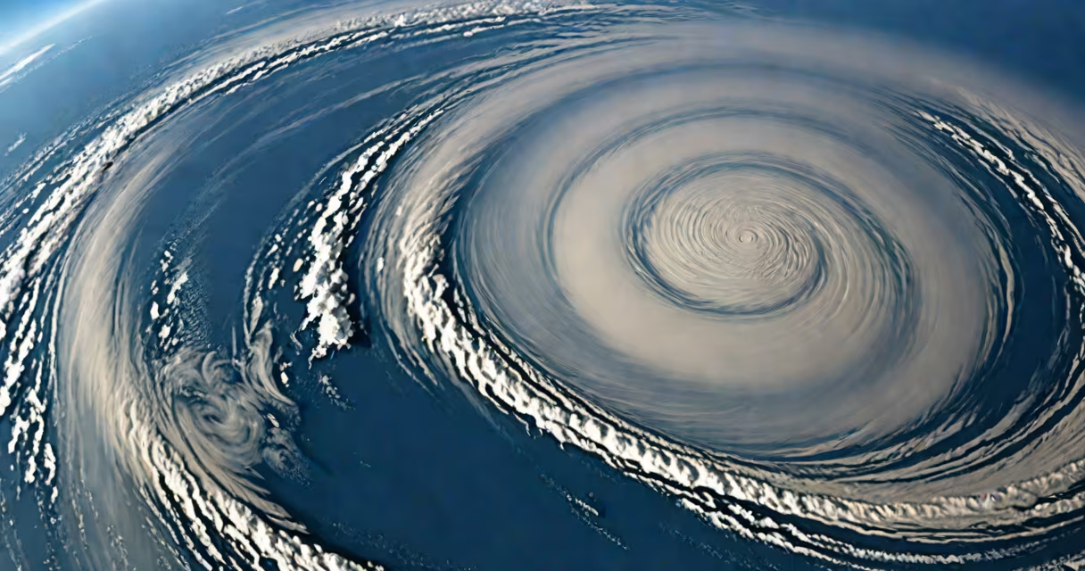
The difference between cyclone and hurricane is purely geographic: both refer to the same type of intense tropical storm, distinguished only by location. Cyclones form in the South Pacific and Indian Ocean; hurricanes develop in the Atlantic and northeastern Pacific. The core structure-eye, eyewall, rainbands-remains identical regardless of name.
Tropical cyclones are organized systems of thunderstorms that rotate around a low-pressure center. They form over warm ocean waters, typically above 26.5°C (80°F), drawing energy from evaporation and condensation. Once sustained winds reach 119 km/h (74 mph), the system is classified as a major storm. In the North Atlantic and eastern Pacific, such storms are called hurricanes. In the western Pacific and Indian Ocean, they are known as typhoons or cyclones, respectively.
Despite different names, the physical mechanics are identical. A storm's intensity is measured using the Saffir-Simpson Hurricane Wind Scale in the Atlantic and the Australian Tropical Cyclone Intensity Scale in the Southern Hemisphere. Both scales categorize storms based on wind speed, storm surge, and potential damage. A Category 5 hurricane in the Atlantic has the same wind speeds (≥252 km/h) as a Category 5 cyclone in the Indian Ocean.
Naming conventions reflect historical and regional usage. The term "hurricane" originates from the Taíno god Huracán, adopted by Spanish explorers. "Cyclone" comes from Greek kúklos, meaning "circle," describing the storm's circular motion. "Typhoon" derives from Chinese "tai fung," meaning "great wind." These names are assigned by national meteorological agencies: the National Hurricane Center (NHC) for Atlantic storms, the India Meteorological Department (IMD) for Indian Ocean cyclones, and the Joint Typhoon Warning Center (JTWC) for western Pacific typhoons.
Each region maintains its own list of names, recycled every six years unless retired due to severe impact. For example, Hurricane Katrina (2005) and Cyclone Nargis (2008) were both devastating, but their names were chosen independently. The World Meteorological Organization (WMO) coordinates naming globally but allows regional autonomy.
Storms are not renamed during their lifespan. A hurricane moving into the central Pacific becomes a typhoon under U.S. National Weather Service guidelines. This shift reflects changing jurisdiction, not changes in storm behavior.
Tropical cyclones are categorized by wind speed and structural features. The following table compares regional classification systems:
| Region | Wind Speed (km/h) | Category Name | Source |
|---|---|---|---|
| Atlantic & Caribbean | ≥119 | Hurricane | National Hurricane Center |
| Northwest Pacific | ≥119 | Typhoon | Joint Typhoon Warning Center |
| Southwest Pacific & Indian Ocean | ≥119 | Cyclone | Bureau of Meteorology (Australia) |
Each system uses similar thresholds. For example, a storm with 130 km/h winds is a Category 1 hurricane in the Atlantic and a Category 1 cyclone in the South Pacific. Damage potential correlates strongly with wind speed, not name.
A common misconception is that hurricanes are stronger than cyclones. This is false. Storm intensity depends on ocean temperature, atmospheric stability, and wind shear-not geography. In 2019, Cyclone Fani (India) reached 195 km/h, while Hurricane Dorian (Bahamas) peaked at 295 km/h. Both were among the most useful storms in their respective basins.
Many assume cyclones are less dangerous because they occur in less monitored regions. This is incorrect. The Indian Ocean basin sees frequent high-intensity cyclones, often affecting densely populated coastal areas like Bangladesh and Sri Lanka. In 1999, Cyclone Orissa killed over 10,000 people, making it one of the deadliest storms in recorded history.
Another error is equating storm size with strength. A large storm may have lower peak winds but cause widespread flooding. Hurricane Sandy (2012) had maximum sustained winds of 120 km/h but caused $70 billion in damage due to its massive size and storm surge. Similarly, Cyclone Yasi (2011) spanned over 1,000 km but was only a Category 5 on the Australian scale.
Even experts sometimes mislabel storms. In 2023, a storm in the Bay of Bengal was initially reported as a "hurricane" in international media. It was corrected to "cyclone" upon verification by the IMD. Accuracy matters for emergency response and public safety.
Cyclone Idai formed in the Mozambique Channel in March 2019. It intensified rapidly, reaching 165 km/h winds before making landfall in Beira, Mozambique. The storm caused catastrophic flooding, killing over 1,300 people and displacing 100,000. Despite being labeled a "cyclone," its impacts matched those of a Category 4 hurricane.
Idai's path illustrates how regional naming doesn't affect storm behavior. The storm was tracked by the Regional Specialized Meteorological Centre (RSMC) in La Réunion, which issued warnings in French and English. Emergency coordination involved multiple countries, including South Africa and Zimbabwe, showing that storm response transcends naming conventions.
I once observed a live broadcast during Cyclone Tauktae (2021) in the Arabian Sea. A meteorologist described it as "a hurricane-like system," prompting viewer confusion. I later confirmed with the IMD that it was correctly termed a "very severe cyclonic storm" with 185 km/h winds. The mix-up highlights how public understanding lags behind technical accuracy.
The difference between cyclone and hurricane is linguistic, not scientific. Both represent the same phenomenon: a rotating storm fueled by warm ocean water and atmospheric instability. Their names depend solely on where they form. Understanding this prevents misinformation and supports accurate communication during emergencies.